Cartosketch for Marathon Route Posters
Turn your marathon GPX or FIT into personal route art, from a first finish to a favourite city race. Choose a style, review the result, and plan your print from the downloaded file.
Multiple
Art styles
Free 1K; paid up to 4K
Max resolution
Included
Commercial use
Every marathon is a line you drew across a city with your own two feet. Turn your marathon GPX or FIT into personal route art, from a first finish to a favourite city race. Choose a style, review the result, and plan your print from the downloaded file.
One route, every style
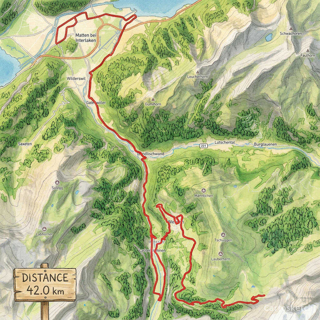
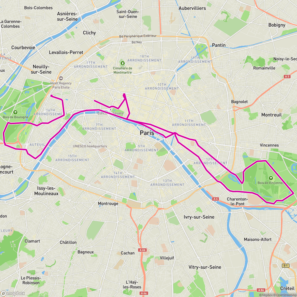
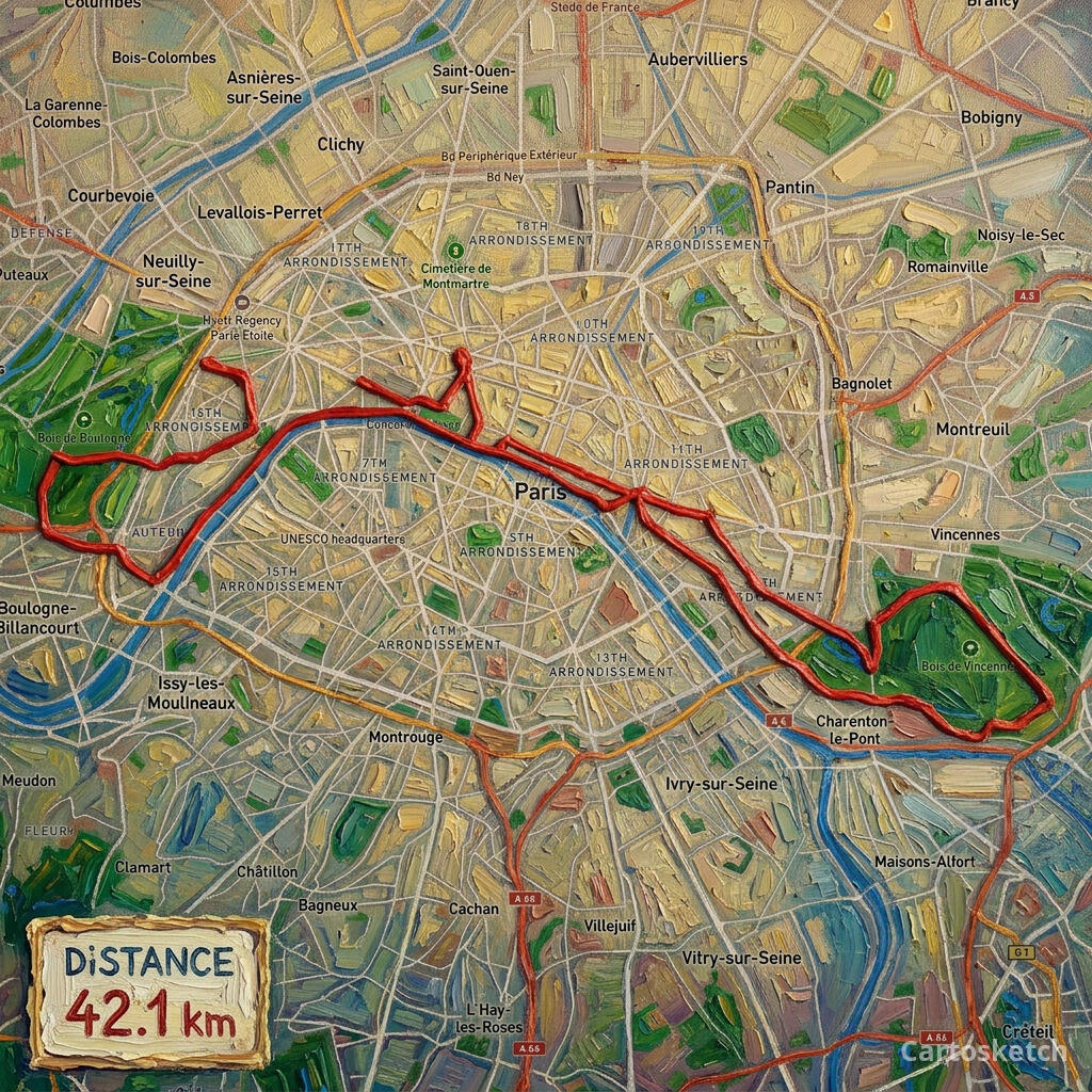
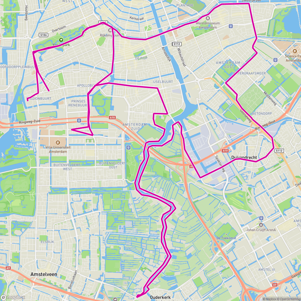
Each style is matched to the character of the race and the city it runs through. Below are real race routes — the GPX-framed map on the left, the finished Cartosketch render on the right.
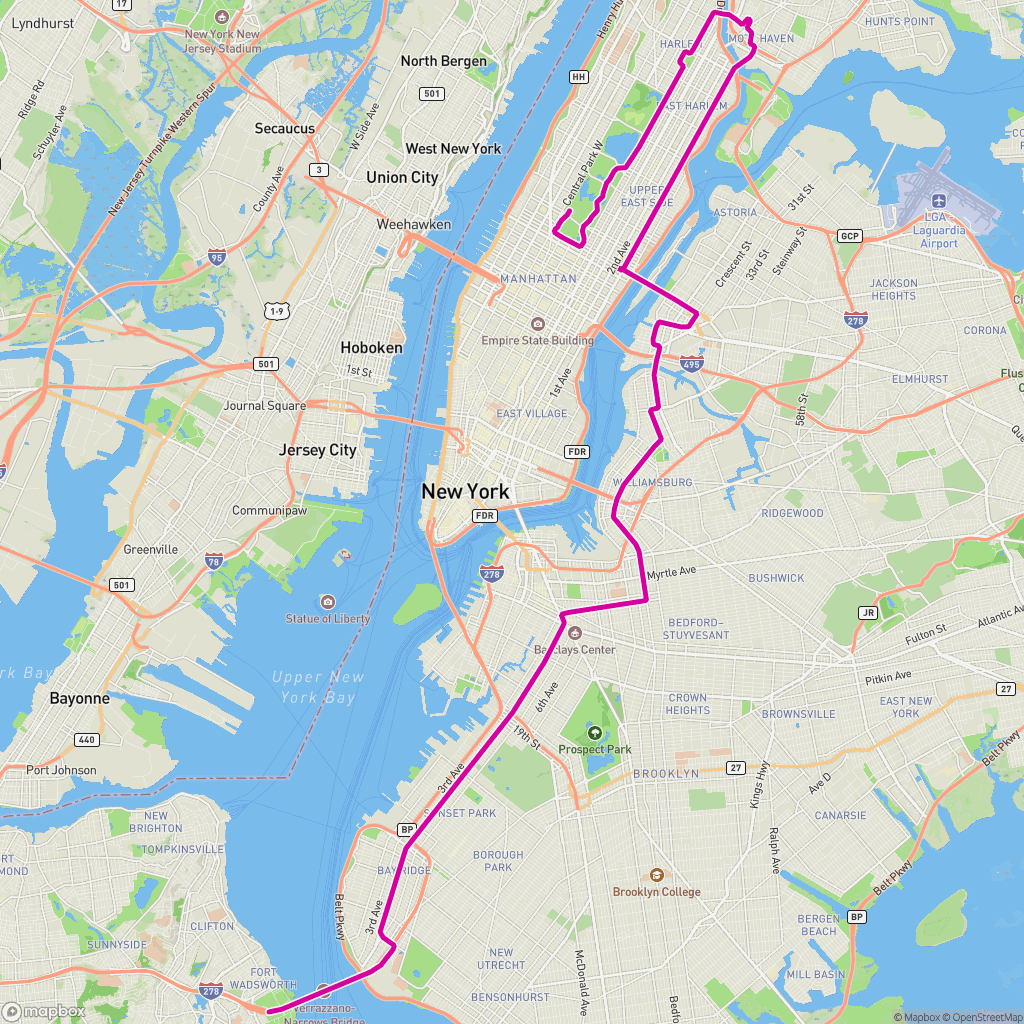 Mapa de ruta
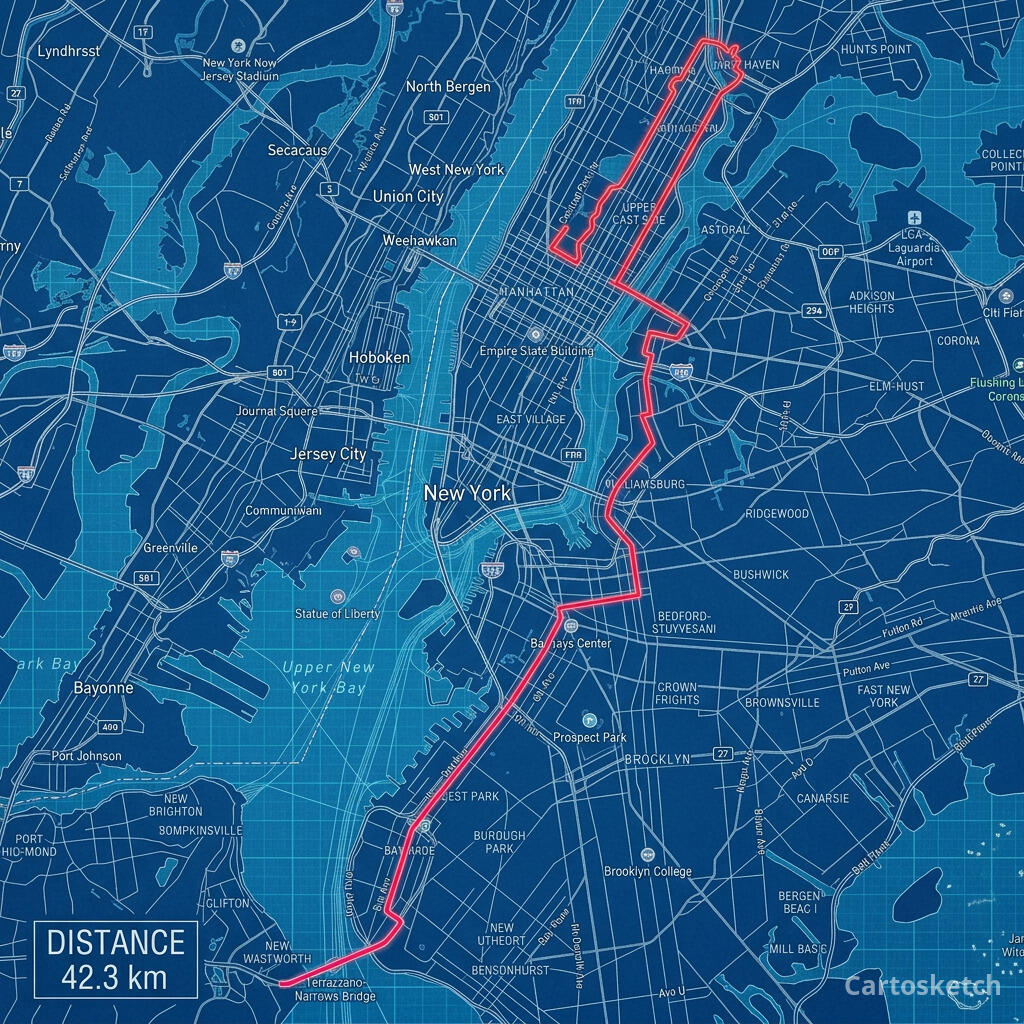 Cartosketch
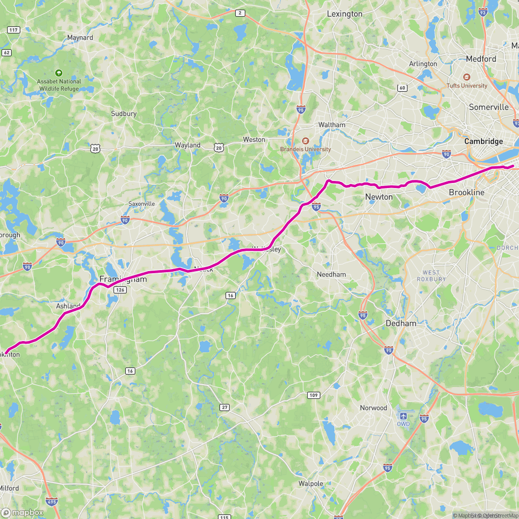 Mapa de ruta
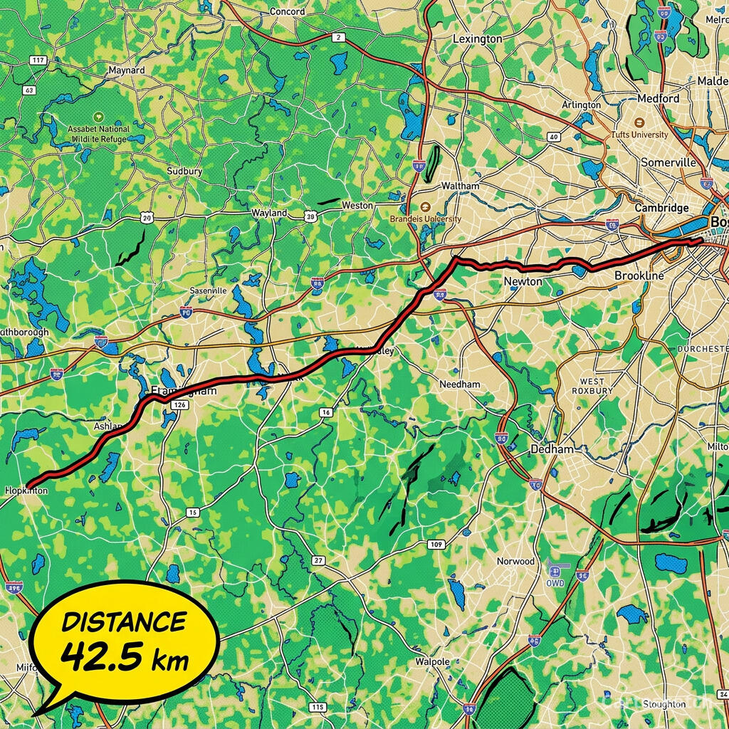 Cartosketch
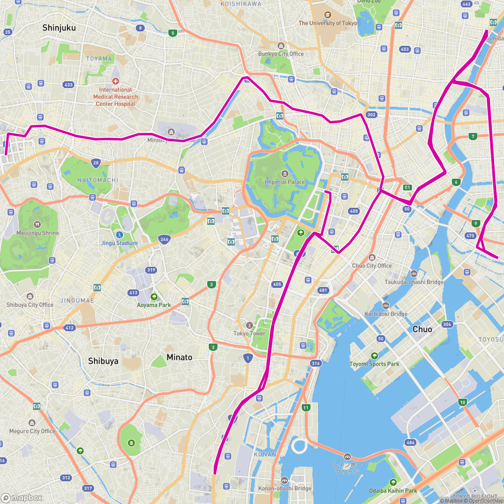 Mapa de ruta
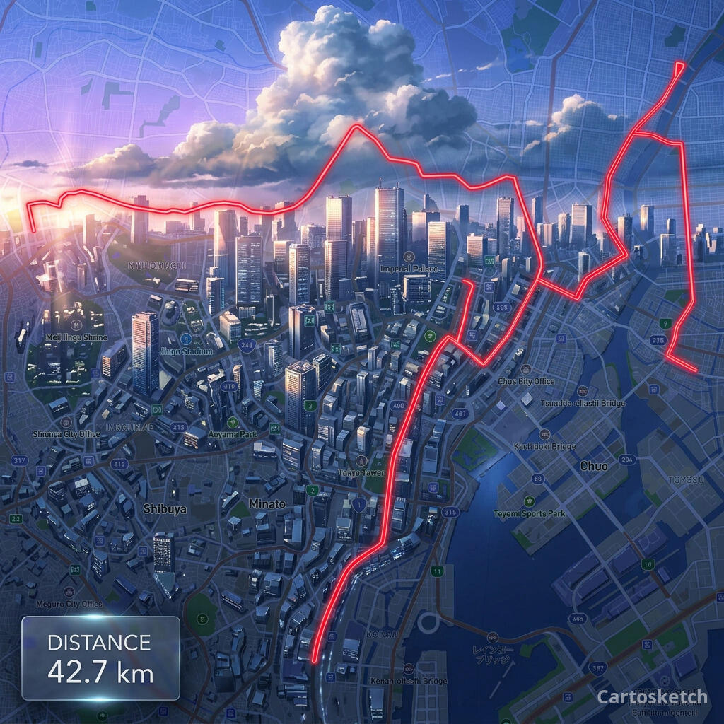 Cartosketch
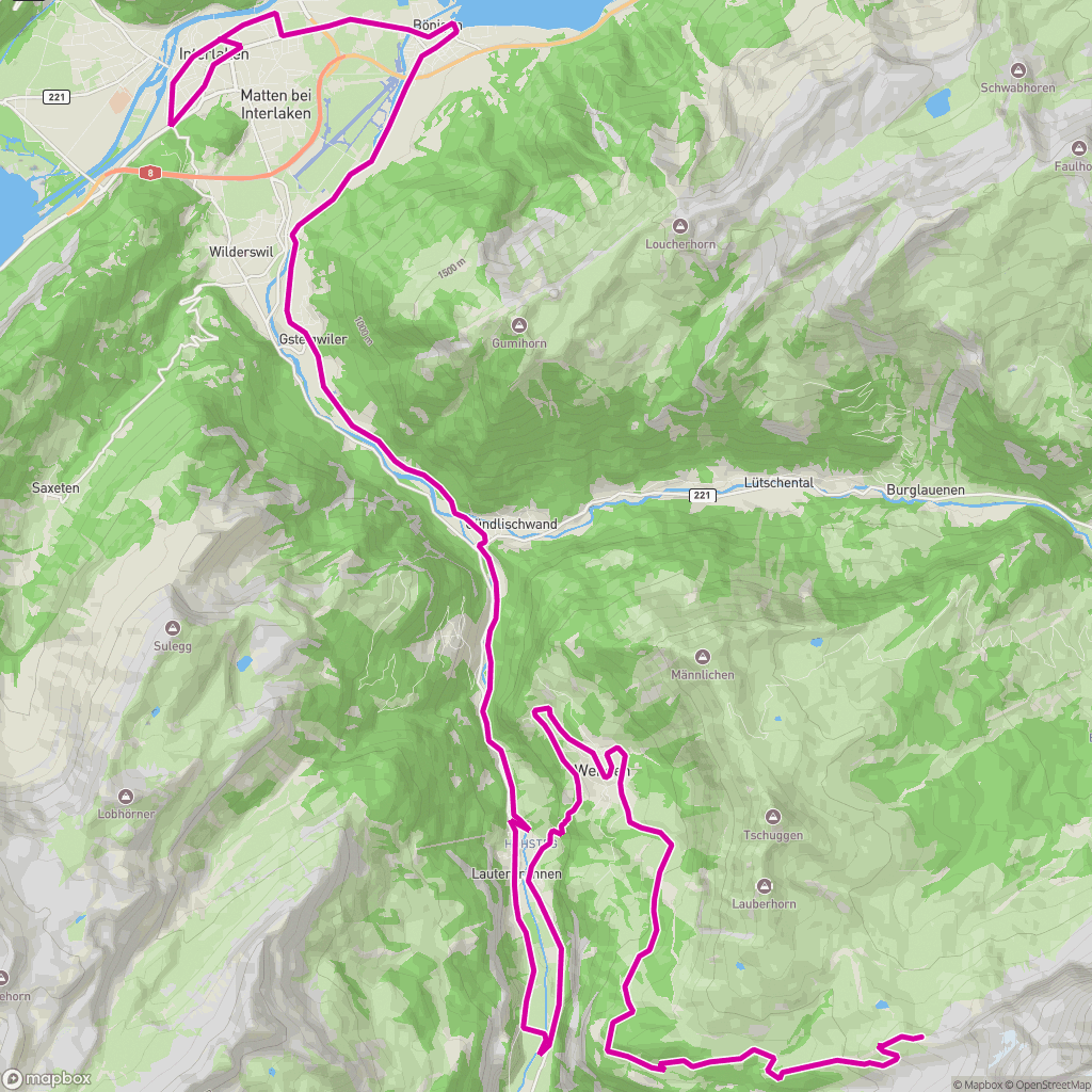 Mapa de ruta
 Cartosketch
 Mapa de ruta
 Cartosketch
 Mapa de ruta
 Cartosketch
 Mapa de ruta
 Cartosketch
 Mapa de ruta
 Cartosketch
 Mapa de ruta
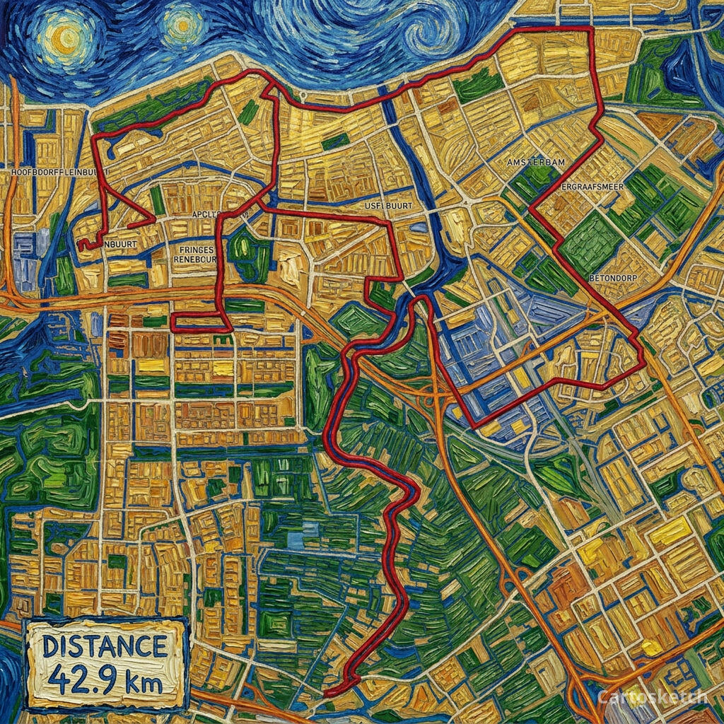 Cartosketch
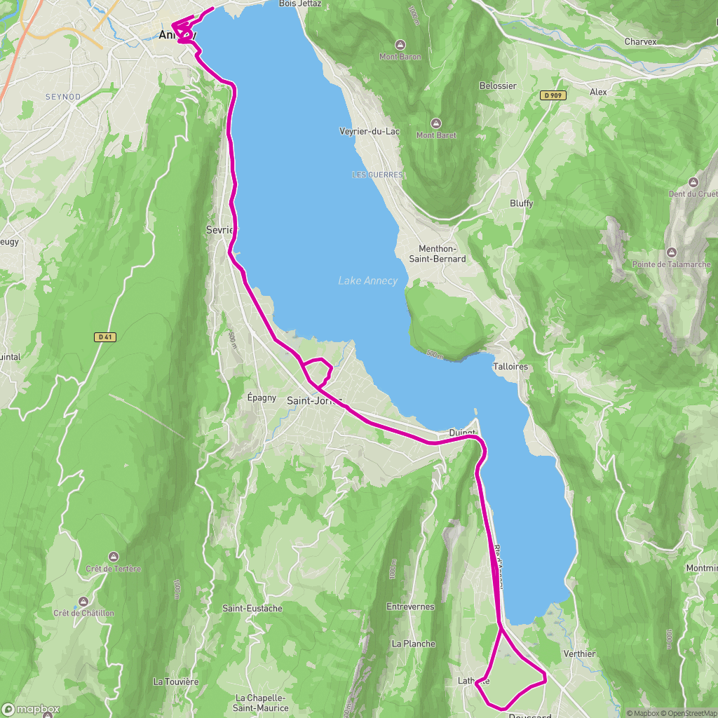 Mapa de ruta
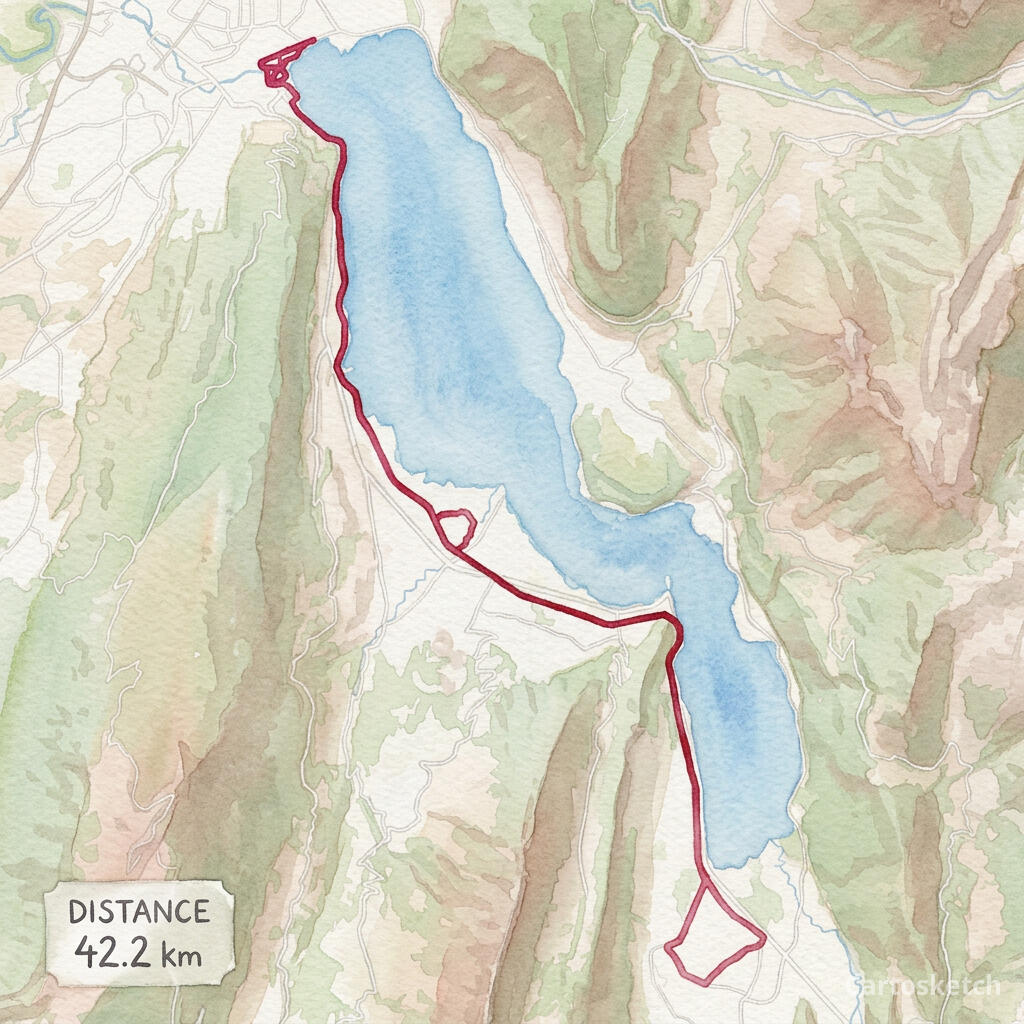 Cartosketch
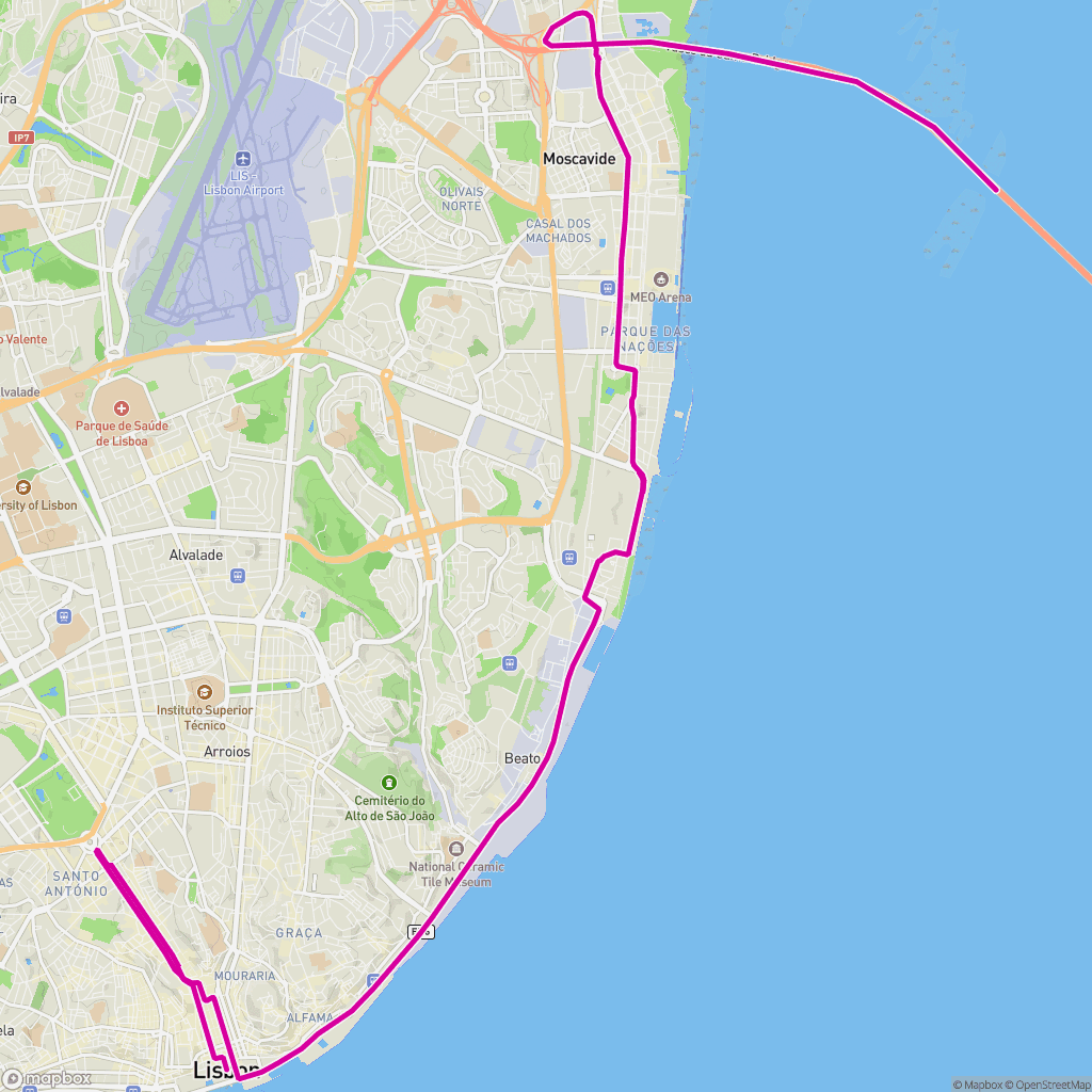 Mapa de ruta
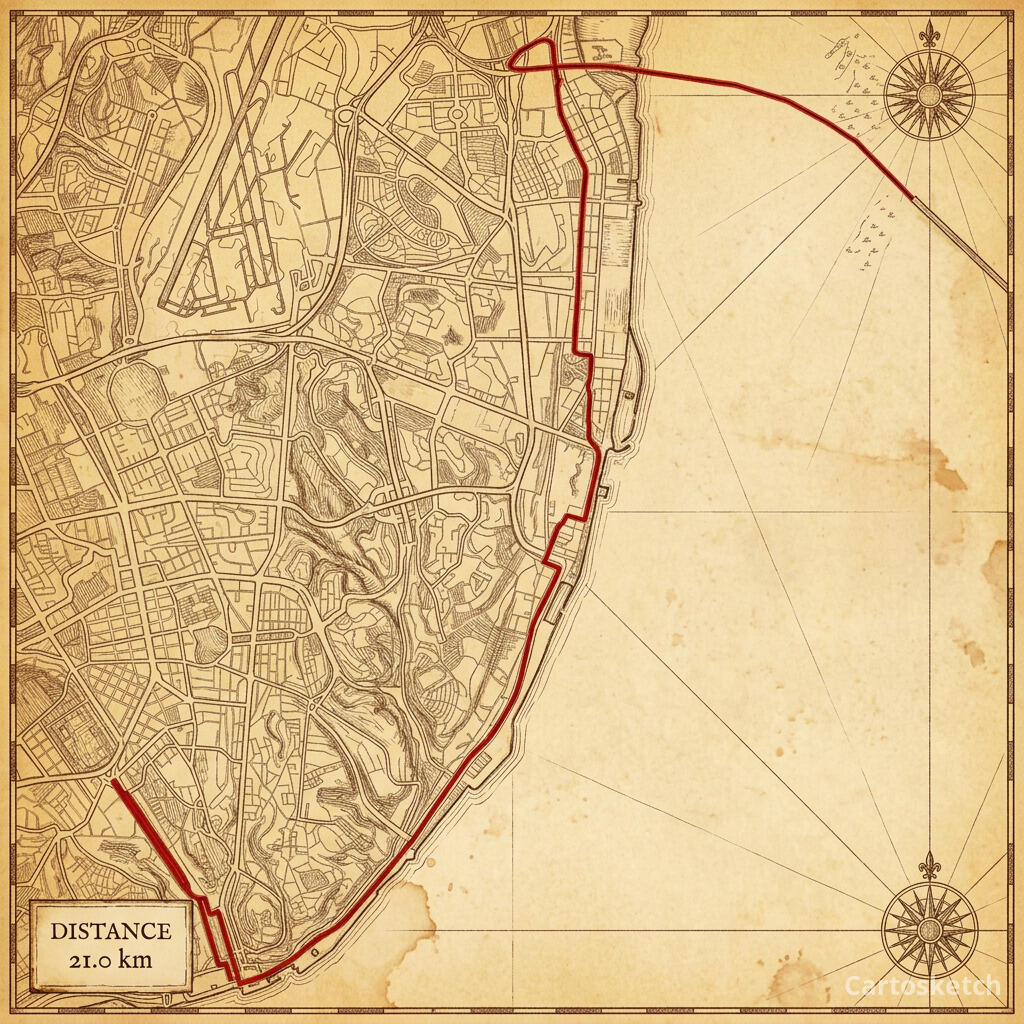 Cartosketch
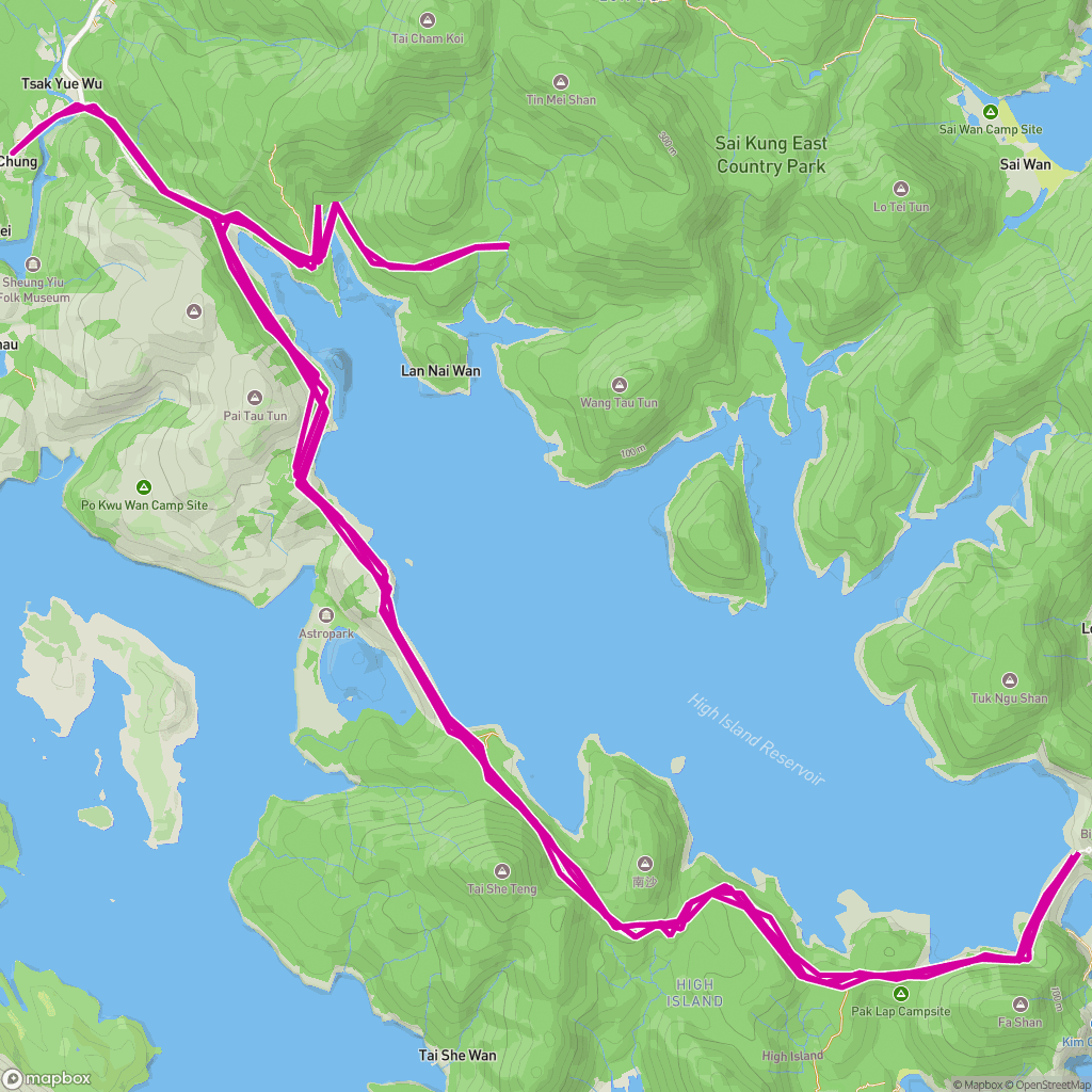 Mapa de ruta
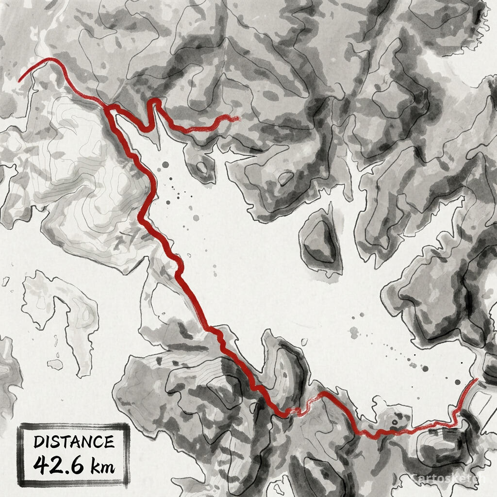 Cartosketch
Why runners choose Cartosketch
| Need | How Cartosketch helps |
|---|---|
| Route from your GPS data | Your uploaded coordinates supply the route overlay; review it against the generated background. |
| A style that fits the race | Blueprint for grid cities, Cyberpunk for neon skylines, Ghibli for alpine trails, Vintage Map for classic majors. |
| Resolution and print sizing | Free accounts generate at 1K; Plus/Pro subscribers or users with a positive credit-pack balance can choose up to 4K. Actual pixel dimensions depend on the provider and aspect ratio. |
| No watermark | Free downloads are watermarked JPEGs. Plus/Pro subscribers, users with a positive credit-pack balance, or artwork with clean download already unlocked can download the watermark-free PNG. |
| Commercial license | Sell finisher prints, run-club merch, or print-on-demand products with any paid plan. |
Playbook: create and review your route poster
- Export your race GPX from Strava or Garmin — or download the official course GPX from the race or a site like goandrace.
- Open /dash/chats and attach your GPX or FIT file to a message describing the poster you want.
- Pick a style that matches the city (e.g. Blueprint for NYC, Ghibli for Jungfrau, Cyberpunk for Shanghai). Review the proposed style, aspect ratio, resolution, and credit cost, then confirm generation. Processing time varies.
- Open the linked Route editor for fine adjustments to framing and route presentation; regenerate after changes when needed.
- Review the finished image and download it from the editor. Free downloads are watermarked JPEGs; paid access or an existing clean-download unlock provides PNG. Check actual pixels and target PPI before printing.
FAQ
- Where do I get my marathon's GPX file?
- Export it from Strava, Garmin Connect, or any GPS watch app after your run. For races you didn't run with a watch, most major marathons publish an official course GPX, and aggregator sites like goandrace offer downloadable tracks.
- Does Cartosketch keep my exact route?
- The route line is overlaid from your uploaded coordinates on an AI-generated basemap. GPS data can contain errors, and the artistic background may change geographic details; review the result before printing.
- What size should I generate for a poster?
- Choose a ratio such as 2:3 or 3:4 and check the downloaded image’s actual pixels. Print size in inches = pixels ÷ target PPI; 3000 pixels at 300 PPI gives 10 inches (25.4 cm). Up to 4K does not guarantee A2/A3 quality; confirm sizing with your printer.
- Can I sell prints of race routes?
- Yes. Any paid plan (Credit Pack, Plus, Pro) includes full commercial rights for finisher prints, run-club merch, and print-on-demand products. Note that race names and logos are trademarks of their organizers — sell the route art, not the branding.
Las cuentas nuevas obtienen un crédito gratis — sin necesidad de tarjeta de crédito.