Arte de rutas GPX + FIT
Convierte tu ruta real en arte
Sube una actividad de running, ciclismo, senderismo o una carrera. Cartosketch conserva la geometría y rediseña el mapa con 26 estilos artísticos.
Subir una ruta
1 crédito gratis al registrarte. No necesitas tarjeta.
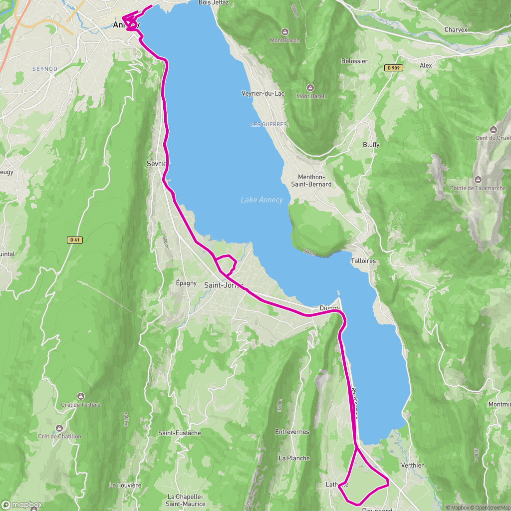 Entrada real
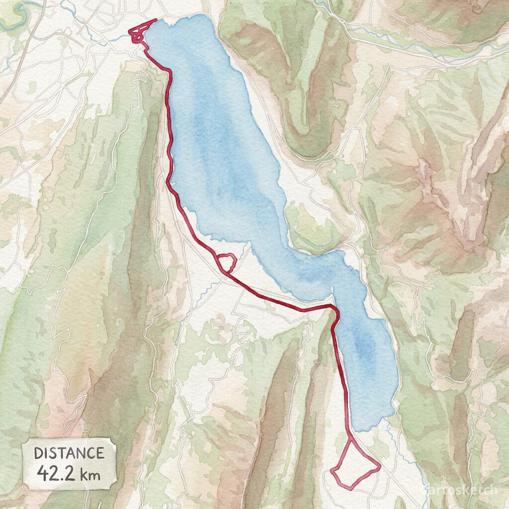 Arte de Cartosketch
GPX + FIT
Import from Garmin, Strava exports, Komoot, AllTrails and other GPS apps.
Exact route
The route line is rendered deterministically after AI styling, so its geometry stays legible.
Print-ready
Choose up to 4K resolution and flexible aspect ratios with paid access.
Cómo funciona
01
Upload
Choose a GPX or FIT activity file from a run, ride, hike or race.
02
Frame
Adjust the map, labels, route color, stats card, aspect ratio and art style.
03
Generate
Download the finished route artwork or share a watermarked public version.
Para proyectos reales
- Marathon and race memories
- Cycling tours and favorite rides
- Hiking and trail keepsakes
- Printable gifts for athletes
Descubre más
Preguntas frecuentes
- Does Cartosketch change my route shape?
- No. The uploaded coordinates define the route, and Cartosketch paints the route line back over the styled map so it remains readable.
- Which file formats are supported?
- You can upload GPX and FIT files. The browser reads the route coordinates and available distance, duration and elevation data.
- Can I use a route exported from Strava or Garmin?
- Yes. Export the activity as GPX or FIT, then upload that file to Cartosketch.
- Is running or cycling handled differently?
- No separate product is required. Runs, rides, hikes and race courses all use the same GPX Route Art workflow.