
GPX + FIT 路线艺术
将你的真实路线变成艺术
上传跑步、骑行、徒步或比赛路线。Cartosketch 保留路线几何形状,可添加统计卡片,并使用 26 种艺术风格重绘周边地图。
上传路线
注册即获 1 个免费积分,无需信用卡。
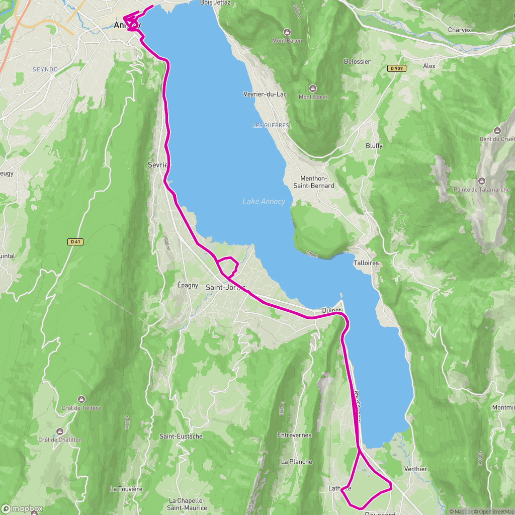 真实输入
真实输入
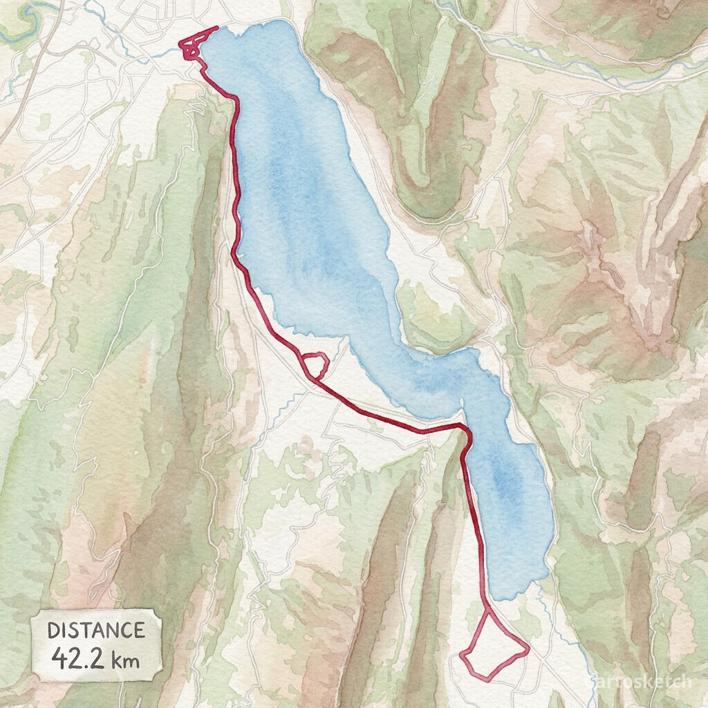 Cartosketch 作品
GPX + FIT
Import from Garmin, Strava exports, Komoot, AllTrails and other GPS apps.
Exact route
The route line is rendered deterministically after AI styling, so its geometry stays legible.
Print-ready
Choose up to 4K resolution and flexible aspect ratios with paid access.
使用方法
01
Upload
Choose a GPX or FIT activity file from a run, ride, hike or race.
02
Frame
Adjust the map, labels, route color, stats card, aspect ratio and art style.
03
Generate
Download the finished route artwork or share a watermarked public version.
为真实项目而作
- Marathon and race memories
- Cycling tours and favorite rides
- Hiking and trail keepsakes
- Printable gifts for athletes
深入了解
常见问题
- Does Cartosketch change my route shape?
- No. The uploaded coordinates define the route, and Cartosketch paints the route line back over the styled map so it remains readable.
- Which file formats are supported?
- You can upload GPX and FIT files. The browser reads the route coordinates and available distance, duration and elevation data.
- Can I use a route exported from Strava or Garmin?
- Yes. Export the activity as GPX or FIT, then upload that file to Cartosketch.
- Is running or cycling handled differently?
- No separate product is required. Runs, rides, hikes and race courses all use the same GPX Route Art workflow.