فن مسارات GPX وFIT
حوّل مسارك الحقيقي إلى فن
ارفع ملف جري أو ركوب دراجة أو تنزّه أو سباق. يحافظ Cartosketch على هندسة المسار ويعيد تصميم الخريطة بـ26 أسلوباً فنياً.
ارفع مساراً
رصيد مجاني عند التسجيل. لا تحتاج إلى بطاقة ائتمان.
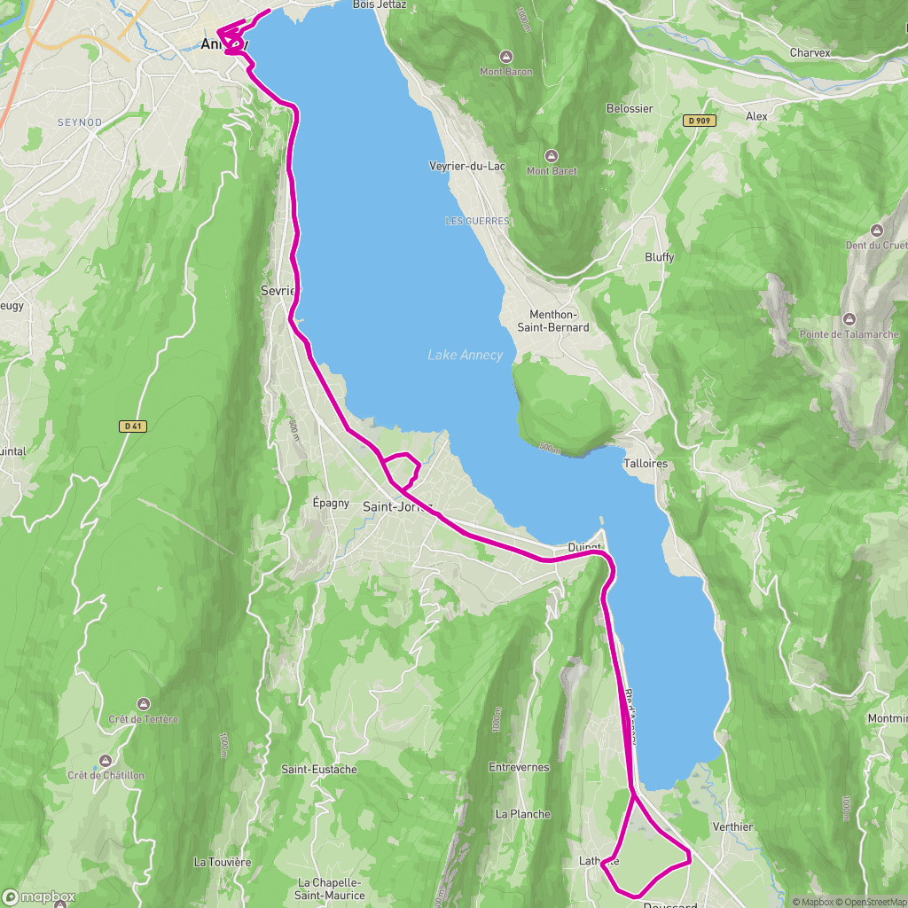 الإدخال الحقيقي
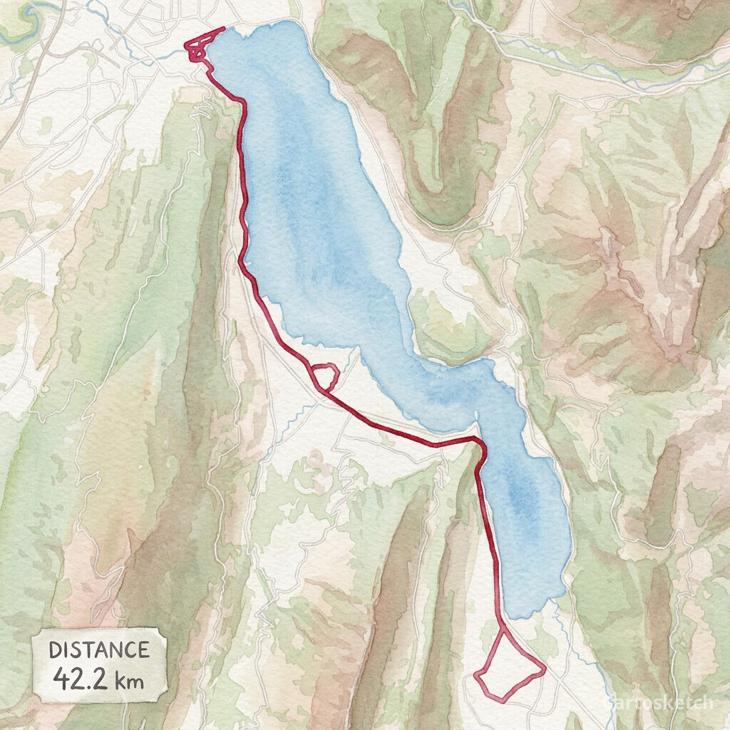 فن Cartosketch
GPX + FIT
Import from Garmin, Strava exports, Komoot, AllTrails and other GPS apps.
Exact route
The route line is rendered deterministically after AI styling, so its geometry stays legible.
Print-ready
Choose up to 4K resolution and flexible aspect ratios with paid access.
كيف يعمل
01
Upload
Choose a GPX or FIT activity file from a run, ride, hike or race.
02
Frame
Adjust the map, labels, route color, stats card, aspect ratio and art style.
03
Generate
Download the finished route artwork or share a watermarked public version.
لمشاريع حقيقية
- Marathon and race memories
- Cycling tours and favorite rides
- Hiking and trail keepsakes
- Printable gifts for athletes
اكتشف المزيد
الأسئلة الشائعة
- Does Cartosketch change my route shape?
- No. The uploaded coordinates define the route, and Cartosketch paints the route line back over the styled map so it remains readable.
- Which file formats are supported?
- You can upload GPX and FIT files. The browser reads the route coordinates and available distance, duration and elevation data.
- Can I use a route exported from Strava or Garmin?
- Yes. Export the activity as GPX or FIT, then upload that file to Cartosketch.
- Is running or cycling handled differently?
- No separate product is required. Runs, rides, hikes and race courses all use the same GPX Route Art workflow.