GPX + FIT 경로 아트
실제 경로를 아트로 바꾸세요
달리기, 자전거, 하이킹 또는 레이스 파일을 업로드하세요. Cartosketch는 경로 형태를 보존하고 26가지 아트 스타일로 주변 지도를 다시 그립니다.
경로 업로드
가입 시 무료 크레딧 1개. 신용카드가 필요 없습니다.
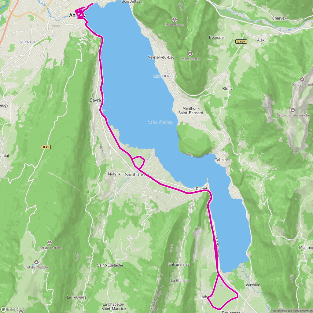 실제 입력
실제 입력
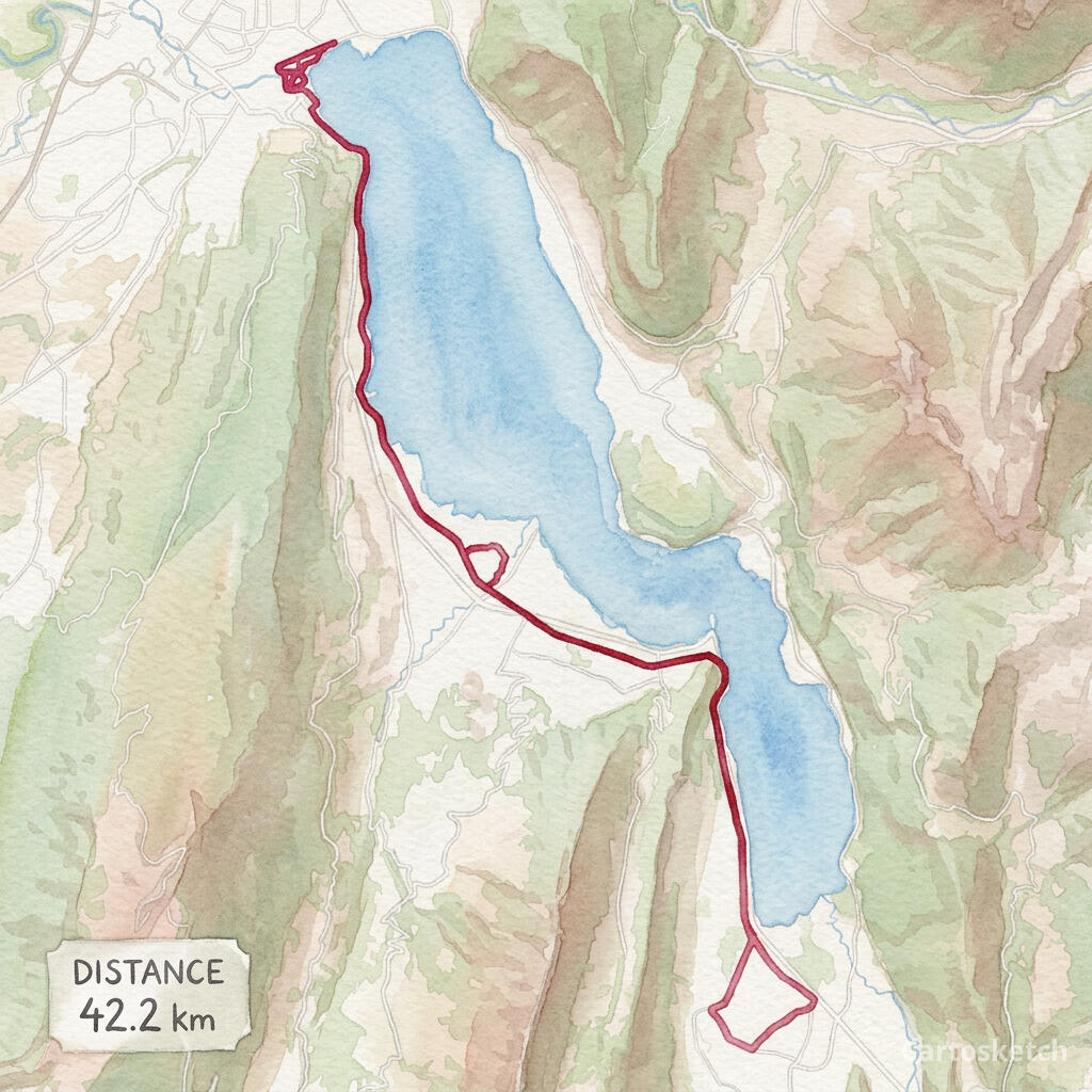 Cartosketch 아트
GPX + FIT
Import from Garmin, Strava exports, Komoot, AllTrails and other GPS apps.
Exact route
The route line is rendered deterministically after AI styling, so its geometry stays legible.
Print-ready
Choose up to 4K resolution and flexible aspect ratios with paid access.
이용 방법
01
Upload
Choose a GPX or FIT activity file from a run, ride, hike or race.
02
Frame
Adjust the map, labels, route color, stats card, aspect ratio and art style.
03
Generate
Download the finished route artwork or share a watermarked public version.
실제 프로젝트를 위해
- Marathon and race memories
- Cycling tours and favorite rides
- Hiking and trail keepsakes
- Printable gifts for athletes
더 알아보기
자주 묻는 질문
- Does Cartosketch change my route shape?
- No. The uploaded coordinates define the route, and Cartosketch paints the route line back over the styled map so it remains readable.
- Which file formats are supported?
- You can upload GPX and FIT files. The browser reads the route coordinates and available distance, duration and elevation data.
- Can I use a route exported from Strava or Garmin?
- Yes. Export the activity as GPX or FIT, then upload that file to Cartosketch.
- Is running or cycling handled differently?
- No separate product is required. Runs, rides, hikes and race courses all use the same GPX Route Art workflow.