Islamic Geometric Map Art: Turn Any Place Into a Tiled Pattern
Turn a real place — your city, an old quarter, a square — into Islamic geometric map art of interlocking stars and tilework. Real Mapbox geography, intricate geometric pattern, print-ready up to 4K.
All artwork in this article was generated with Cartosketch — an AI tool that re-styles real Mapbox geography and GPS routes.
Islamic geometric style turns a map into an intricate, interlocking pattern. Streets and blocks resolve into stars, polygons, and tessellating tilework, drawn with the precision of a craftsman's compass and straightedge. It is meditative, ornamental, and endlessly detailed — a place transformed into a piece of pure pattern. This guide shows how to take any real location and restyle it as Islamic geometric art.
A short history of Islamic geometric design
Across the Islamic world, decorative art developed an extraordinary mastery of abstract geometry. Rather than depicting figures, artisans explored the endless possibilities of pattern: the *girih* star-and-polygon grids that spread across walls and ceilings, the bright *zellige* mosaic tiles cut and laid by hand, and the flowing arabesque of stylised vines. Built on the simple tools of compass and straightedge, these designs achieve dazzling complexity from a few repeating rules — symmetry, tessellation, and interlace — and carry a sense of the infinite, a pattern that could in principle continue forever. It is a tradition of pure ornament, and that is exactly the spirit it brings to a map.
Why Islamic geometric style works on a map
A street plan is already a tessellation — a surface divided into interlocking shapes — which is the heart of geometric ornament. Blocks become tiled polygons, intersections bloom into stars, and the whole layout knits together into a single continuous pattern of jewel-bright colour and fine outline. It is an abstract, decorative treatment rather than a literal one, so it works for almost any place with a rich, irregular street fabric — old quarters, historic centres, dense neighbourhoods, and grand squares all translate beautifully into tilework.
The geography stays exact. The weave of the streets, the shape of each block, the lines of the squares — all preserved from real Mapbox data, then re-drawn by AI as interlocking geometry. You're not generating a generic pattern; you're stylizing the real place you framed.
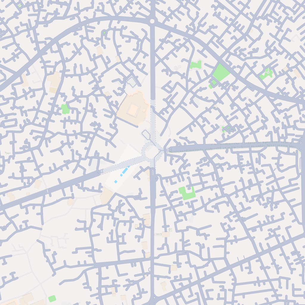 Mapbox
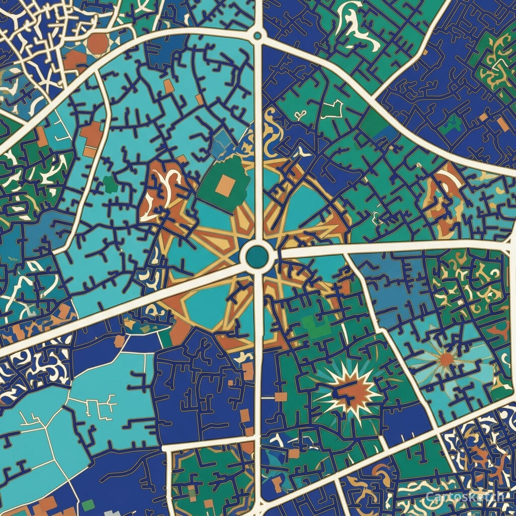 Cartosketch
How to make your own
- Open Cartosketch → New Map, search the place or drag the map to frame it.
- Pick Standard or Satellite; set zoom, bearing, and pitch until the composition feels right.
- Choose the Islamic Geometric style.
- Generate — in seconds you get a finished piece with the real geography preserved.
- Download up to 4K and print or frame it. Commercial use is included on every plan.
Print sizes & resolution
| Plan | Max resolution | Aspect ratio | Good for |
|---|---|---|---|
| Free | 0.5K | 1:1 square | Social posts, a quick test print |
| Paid | Up to 4K | Any (incl. portrait/landscape) | Framed wall art, large-format prints |
Frequently asked questions
- Is this AI?
- Yes. Cartosketch re-styles real Mapbox geography with an AI model — the layout is real and preserved; the geometric pattern, stars, and tilework are generated.
- Is it the real place, or a generic illustration?
- The real place. It is built from the actual map view you frame, so streets, squares, and landmarks match reality.
- Can I print and sell it?
- Print at any size up to your plan's resolution; commercial use is included on every plan. Just don't reuse an official name or logo as branding.
- How much does it cost?
- New accounts get one free credit. Paid plans add higher resolution (up to 4K), custom aspect ratios, and more credits.
New accounts get one free credit — no credit card required.